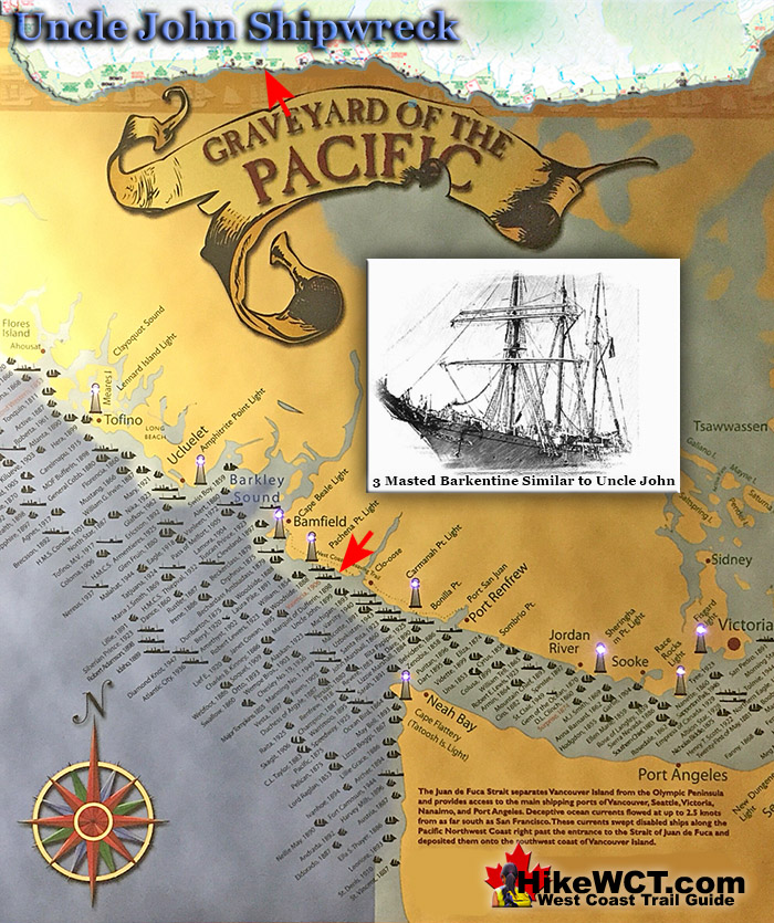
![]() The Uncle John was a 138 foot, three masted barkentine of 314 tons. Built in Eureka, California in 1881 and wrecked one kilometre east of Tsusiat Falls on the West Coast Trail. She was inbound in ballast from Hololulu, heading to Port Townsend. Owing to awful weather and heavy seas, the captain and crew of four were unable to obtain any sights. At 2am on the morning of 6 October, 1899, finally a lighthouse was spotted and it was thought to be the Carmanah Point Lighthouse.
The Uncle John was a 138 foot, three masted barkentine of 314 tons. Built in Eureka, California in 1881 and wrecked one kilometre east of Tsusiat Falls on the West Coast Trail. She was inbound in ballast from Hololulu, heading to Port Townsend. Owing to awful weather and heavy seas, the captain and crew of four were unable to obtain any sights. At 2am on the morning of 6 October, 1899, finally a lighthouse was spotted and it was thought to be the Carmanah Point Lighthouse.
 Alaskan Shipwreck at 4km
- Soquel Shipwreck at 5km
- Sarah Shipwreck at 7km
- Becherdass-Ambiadass Shipwreck at 8km
- Michigan Shipwreck at 12km
- Uzbekistan Shipwreck at 13.8km
- Varsity Shipwreck at 17.6km
- Valencia Shipwreck at 18.3km
- Janet Cowan Shipwreck at 19km
- Robert Lewers Shipwreck at 20km
- Woodside Shipwreck at 20.2km
- Uncle John Shipwreck at 26.2km
- Vesta Shipwreck at 29km
- Raita Shipwreck at 33km
- Skagit Shipwreck at 34.2km
- Santa Rita Shipwreck at 37km
- Dare Shipwreck at 39km
- Lizzie Marshall Shipwreck at 47km
- Puritan Shipwreck at 48.5km
- Wempe Brothers Shipwreck at 49.4km
- Duchess of Argyle Shipwreck at 58km
- John Marshall Shipwreck at 62.3km
- William Tell Shipwreck at 64.2km
- Revere Shipwreck at 69km
- Cyrus Shipwreck at 75km
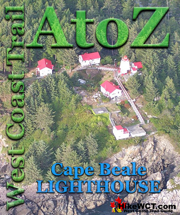
Now knowing where they were in relation to the Carmanah Point Lighthouse, Captain Henningsen could now confidently sail into Juan de Fuca Strait. Unfortunately what he thought was Carmanah Point Lighthouse was in fact the Cape Beale Lighthouse and they were sailing directly into the side of Vancouver Island. The wind died down and they slowly inched toward disaster. Their mistake was suddenly realized when breakers were spotted and heard. They quickly dropped the anchor, however they were already being lifted by the heavy swell which was so powerful it snapped the anchor chain. Moments later they hit the reef broadside and the ship was lifted and thrown against the reef over and over. A lifeboat was manned, lowered and as it hit the water was smashed against the ship. The occupants thrown into the water, then pulled back onto the Uncle John which was now lodged against a huge rock shelf surrounded by ocean. They were able to step off the ship onto the rock where they remained, huddled in the darkness soaking wet. The picture here is the stretch of coastline from Tsusiat to Hole Point. The Uncle John was likely lodged against one of these.

When daylight finally came, one brave crewman swam across the strip of ocean separating them from the shore. He fastened a rope to the shore and they were able to rig a pully to the ship to bring the other four men across. They camped on the shore and after three days they were spotted by a passing ship which directed them to hike to Clo-oose where they could be picked up. The five men headed south as directed and took them almost two days to push through the 6 kilometre tangle of rainforest that separated the Uncle John and Clo-oose. They were brought by ship to Victoria while the Uncle John remained on the reef to be battered by the sea. It was later auctioned as a wreck for $45. The salvage crew was able to salvage the cargo, but Uncle John's hull was beyond repair.

More Shipwrecks Near the Uncle John (KM26)
The Robert Lewers Shipwreck at 20km
![]() There are four more shipwrecks relatively near the Uncle John. The Robert Lewers and the Woodside are 6 kilometres north of the Uncle John and the Vesta and Raita are 3 and 7 kilometres south. The Robert Lewers was a 185 foot, four masted schooner of 732 tons, built in Port Blakely, Washington in 1889. She was wrecked just past kilometre 19 on the West Coast Trail, just half a kilometre from the Janet Cowen shipwreck, and less than two kilometres from the Valencia shipwreck. The Robert Lewers was wrecked here on the 11th of April, 1923. The ship was heading for Bellingham, Washington in ballast from Honolulu with a crew of 14. The circumstances of how Robert Lewers became wrecked on this shore is a depressing tale of unfortunate mishaps. As she entered Juan de Fuca Strait she found little wind and was forced to wait for a tug boat. A tug boat finally arrived to tow her into port. While passing the hawser line from the tug, it became tangled in the masts and rigging, tearing away the Robert Lewers jib boom and head gear. Another attempt was made with hopeful success, until the tow rope snapped. In the confusion, the tug hit a rock and was forced to limp back to Seattle for repairs. Through this ordeal the ship creeped perilously close to shore so the port anchor was released. Moments later the stern of the ship was dragging along the bottom. As the situation became desperate a call was sent out for another tug. An hour and a half passed, waiting for rescue as the ship continued to grind on the reef. When the second tug arrived, it could not get in close enough to attach a line. The wind was picking up so the captain decided to pull the anchor and try to sail out. The wind was far too weak to pull the massive ship away from the rocks and she fell broadside on the beach. The crew abandoned ship and the Robert Lewers remained, battered by waves and in the next few hours, she broke in two and became a permanent part of the Graveyard of the Pacific just offshore of what would later become the West Coast Trail.
There are four more shipwrecks relatively near the Uncle John. The Robert Lewers and the Woodside are 6 kilometres north of the Uncle John and the Vesta and Raita are 3 and 7 kilometres south. The Robert Lewers was a 185 foot, four masted schooner of 732 tons, built in Port Blakely, Washington in 1889. She was wrecked just past kilometre 19 on the West Coast Trail, just half a kilometre from the Janet Cowen shipwreck, and less than two kilometres from the Valencia shipwreck. The Robert Lewers was wrecked here on the 11th of April, 1923. The ship was heading for Bellingham, Washington in ballast from Honolulu with a crew of 14. The circumstances of how Robert Lewers became wrecked on this shore is a depressing tale of unfortunate mishaps. As she entered Juan de Fuca Strait she found little wind and was forced to wait for a tug boat. A tug boat finally arrived to tow her into port. While passing the hawser line from the tug, it became tangled in the masts and rigging, tearing away the Robert Lewers jib boom and head gear. Another attempt was made with hopeful success, until the tow rope snapped. In the confusion, the tug hit a rock and was forced to limp back to Seattle for repairs. Through this ordeal the ship creeped perilously close to shore so the port anchor was released. Moments later the stern of the ship was dragging along the bottom. As the situation became desperate a call was sent out for another tug. An hour and a half passed, waiting for rescue as the ship continued to grind on the reef. When the second tug arrived, it could not get in close enough to attach a line. The wind was picking up so the captain decided to pull the anchor and try to sail out. The wind was far too weak to pull the massive ship away from the rocks and she fell broadside on the beach. The crew abandoned ship and the Robert Lewers remained, battered by waves and in the next few hours, she broke in two and became a permanent part of the Graveyard of the Pacific just offshore of what would later become the West Coast Trail.
Robert Lewers shipwreck continued here...
The Woodside Shipwreck at 20.2km
![]() Just past the 20 kilometre mark of the West Coast Trail you will find an anchor of the Woodside on the beach. The Woodside, an 87 foot long steamer built in Sooke, BC in 1878. The Woodside provided regular service between Victoria, Port Renfrew, Barkley Sound, and Alberni Inlet. On March 12th, 1888, the Woodside lost her rudder and drifted into the rock shelf in front of Trestle Creek. Just past the 20 kilometre mark on the West Coast Trail, the anchor of the Woodside still sits in the middle of the beach. The ship was a total loss, disintegrating over the years with little left but the hauntingly vivid reminder of the wreck, laying rusting on the beach. The improbably located anchor on the beach is a stunning representation of how cool the West Coast Trail is. Emerge from the deep forest and difficult trail, to a desolate feeling, rocky coastline with a huge anchor left here from a shipwreck that happened over a century ago. Extraordinary!
Just past the 20 kilometre mark of the West Coast Trail you will find an anchor of the Woodside on the beach. The Woodside, an 87 foot long steamer built in Sooke, BC in 1878. The Woodside provided regular service between Victoria, Port Renfrew, Barkley Sound, and Alberni Inlet. On March 12th, 1888, the Woodside lost her rudder and drifted into the rock shelf in front of Trestle Creek. Just past the 20 kilometre mark on the West Coast Trail, the anchor of the Woodside still sits in the middle of the beach. The ship was a total loss, disintegrating over the years with little left but the hauntingly vivid reminder of the wreck, laying rusting on the beach. The improbably located anchor on the beach is a stunning representation of how cool the West Coast Trail is. Emerge from the deep forest and difficult trail, to a desolate feeling, rocky coastline with a huge anchor left here from a shipwreck that happened over a century ago. Extraordinary!
Woodside shipwreck continued here...
The Vesta Shipwreck at 29km
![]() At about 29 kilometres on the West Coast Trail you will pass the Vesta shipwreck. This 3 masted schooner of 286 tons was wrecked here on November 10th, 1897. This 128 foot long sailing ship was primarily used to ship lumber to California. The Vesta was inbound from California in ballast to Port Blakely Mills on Bainbridge Island, Washington. The Vesta wrecked at 430am on the 10th of November and was carried so high on the beach as to find her masts in the trees. She had overrun her position due to stormy, foggy weather and the unaccounted for current that brought so many ships to a tragic end in the Graveyard of the Pacific. All of the Vesta's crew of 8 men survived and were able to row to safety and rescue once the storm eased enough to safely travel. The Vesta, owing to its resting place high on the beach, remained there for several years. Often used by lineman seeking shelter, she was often noted by passing ships and used as a landmark. Eventually the hulk was burned in order to salvage the metal fastenings. Some metal parts of the Vesta can still be found today on the spot where she rested for so long. One of her anchors still lies buried in the sand and revealed occasionally by winter storms.
At about 29 kilometres on the West Coast Trail you will pass the Vesta shipwreck. This 3 masted schooner of 286 tons was wrecked here on November 10th, 1897. This 128 foot long sailing ship was primarily used to ship lumber to California. The Vesta was inbound from California in ballast to Port Blakely Mills on Bainbridge Island, Washington. The Vesta wrecked at 430am on the 10th of November and was carried so high on the beach as to find her masts in the trees. She had overrun her position due to stormy, foggy weather and the unaccounted for current that brought so many ships to a tragic end in the Graveyard of the Pacific. All of the Vesta's crew of 8 men survived and were able to row to safety and rescue once the storm eased enough to safely travel. The Vesta, owing to its resting place high on the beach, remained there for several years. Often used by lineman seeking shelter, she was often noted by passing ships and used as a landmark. Eventually the hulk was burned in order to salvage the metal fastenings. Some metal parts of the Vesta can still be found today on the spot where she rested for so long. One of her anchors still lies buried in the sand and revealed occasionally by winter storms.
Vesta shipwreck continued here...
The Raita Shipwreck at 33km
![]() The Raita shipwreck is located off the reefs at about the 33 kilometre mark of the West Coast Trail. Located just offshore and most remnants of this wreck are hidden under the waves. Some of the hull timbers can still be seen by the determined, just down from the river bed near Whyac Point. This section of the West Coast Trail is quite far inland, away from the coast, so you won't likely even get to look over the sea where she met her end. The Raita is just off the rocks near Whyac Point. Whyac Point is just down from the Nitinaht Narrows ferry crossing on the West Coast Trail. The Raita was a 3 masted schooner of 309 tons, built in California in 1890(originally the Raita was named Lucy). The Raita was a French registered ship of of Papete, French Polynesia. She was loaded with lumber from Port Gamble, Washington heading to deliver it to Tahiti. Shortly after setting sail, she began taking on water. The strong winds and current overpowered the Raita and she was forced perilously close to Vancouver Island. In a desperate attempt to regain control, the crew began dumping their cargo into the sea and dropped her anchor. The winds picked up and snapped the anchor chain. The crew seeing the rocky shoreline coming near, launched a lifeboat and escaped. They managed to row safely to Carmanah Point Lighthouse and were soon picked up by a passing CPR steamship. The Raita was bashed into the shore at Whyac Point, which at the time was known as Mission Point. At low tide she was high and dry on the rocks, completely out of the water. She was wrecked here on January 18th, 1925. Some of the old ship's hull timbers can still be seen today, a century later!
The Raita shipwreck is located off the reefs at about the 33 kilometre mark of the West Coast Trail. Located just offshore and most remnants of this wreck are hidden under the waves. Some of the hull timbers can still be seen by the determined, just down from the river bed near Whyac Point. This section of the West Coast Trail is quite far inland, away from the coast, so you won't likely even get to look over the sea where she met her end. The Raita is just off the rocks near Whyac Point. Whyac Point is just down from the Nitinaht Narrows ferry crossing on the West Coast Trail. The Raita was a 3 masted schooner of 309 tons, built in California in 1890(originally the Raita was named Lucy). The Raita was a French registered ship of of Papete, French Polynesia. She was loaded with lumber from Port Gamble, Washington heading to deliver it to Tahiti. Shortly after setting sail, she began taking on water. The strong winds and current overpowered the Raita and she was forced perilously close to Vancouver Island. In a desperate attempt to regain control, the crew began dumping their cargo into the sea and dropped her anchor. The winds picked up and snapped the anchor chain. The crew seeing the rocky shoreline coming near, launched a lifeboat and escaped. They managed to row safely to Carmanah Point Lighthouse and were soon picked up by a passing CPR steamship. The Raita was bashed into the shore at Whyac Point, which at the time was known as Mission Point. At low tide she was high and dry on the rocks, completely out of the water. She was wrecked here on January 18th, 1925. Some of the old ship's hull timbers can still be seen today, a century later!
Raita shipwreck continued here...
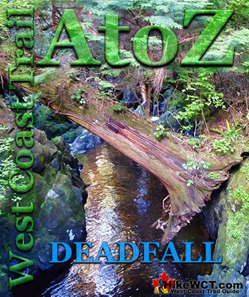
West Coast Trail A to Z
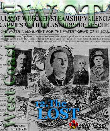
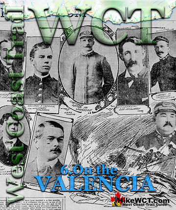
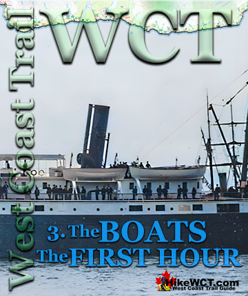
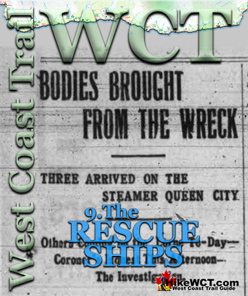
The Valencia Disaster
West Coast Trail Guide

Explore BC Hiking Destinations!
The West Coast Trail
Victoria Hiking Trails

Clayoquot Hiking Trails

Whistler Hiking Trails

Squamish Hiking Trails

Vancouver Hiking Trails