Hike West Coast Trail Glossary
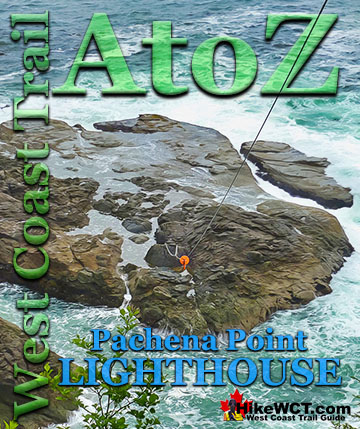
![]() The Pachena Point Lighthouse is an interesting bit of west coast history that you can visit. You can only see the grounds outside and not in the lighthouse itself. The view down from the 100 foot cliffs surrounding the lighthouse are beautiful and a vivid look at how powerful the crashing waves are. Pachena Point is the menacing point of land out to the left if you are standing next to the lighthouse.
The Pachena Point Lighthouse is an interesting bit of west coast history that you can visit. You can only see the grounds outside and not in the lighthouse itself. The view down from the 100 foot cliffs surrounding the lighthouse are beautiful and a vivid look at how powerful the crashing waves are. Pachena Point is the menacing point of land out to the left if you are standing next to the lighthouse.
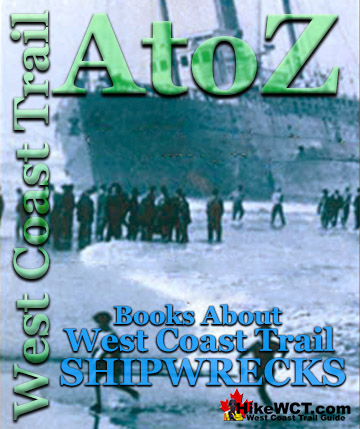
![]() There are quite a few books about West Coast Trail shipwrecks, though many of them are tough to find and written decades ago. Here is a list of the ones we have found with the best information on the often scarce history of many of the lesser known shipwrecks along the west coast of Vancouver Island. One of the books, "Breakers Ahead!" was actually written in order to influence the creation of what would become the incredible West Coast Trail.
There are quite a few books about West Coast Trail shipwrecks, though many of them are tough to find and written decades ago. Here is a list of the ones we have found with the best information on the often scarce history of many of the lesser known shipwrecks along the west coast of Vancouver Island. One of the books, "Breakers Ahead!" was actually written in order to influence the creation of what would become the incredible West Coast Trail.
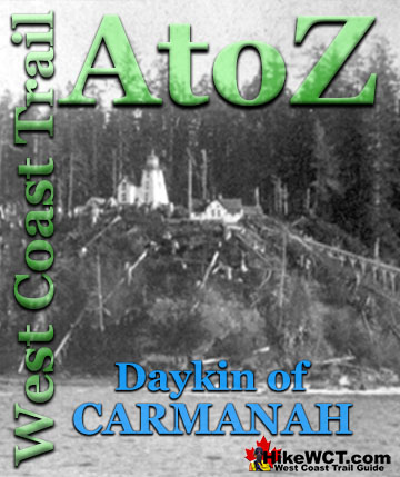
![]() William Philip Daykin was the first lightkeeper of the Carmanah Point Lighthouse from 1891 to 1912. In books and newspapers he is either written as Phil Daykin or W.P. Daykin. He and his wife Helen Strelley Marriott Daykin had five sons, Charles Thomas Daykin, Edward "Ted" Daykin, William Taber Daykin, Roby Strelley Daykin and Philip Culme Daykin. He kept a meticulous lighthouse diary in which he recorded every ship sighted from his commanding view from the lighthouse tower.
William Philip Daykin was the first lightkeeper of the Carmanah Point Lighthouse from 1891 to 1912. In books and newspapers he is either written as Phil Daykin or W.P. Daykin. He and his wife Helen Strelley Marriott Daykin had five sons, Charles Thomas Daykin, Edward "Ted" Daykin, William Taber Daykin, Roby Strelley Daykin and Philip Culme Daykin. He kept a meticulous lighthouse diary in which he recorded every ship sighted from his commanding view from the lighthouse tower.
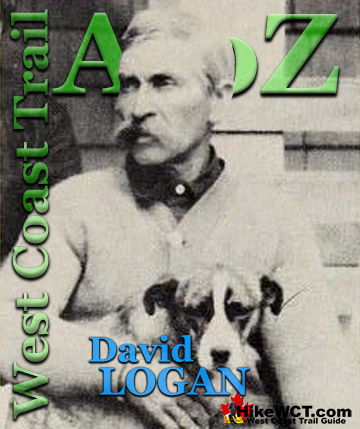
![]() David Logan is one of the main characters on the origin and history of the West Coast Trail. Shortly after the West Coast Telegraph Line was constructed in 1889 to link the lighthouses at Carmanah Point and Cape Beale to Victoria, he was hired as a lineman to keep the section between Clo-oose and Cape Beale connected. The West Coast Telegraph Line was simply strung from tree to tree through the almost impenetrable rainforest from Carmanah Point to Cape Beale over 50 kilometres away.
David Logan is one of the main characters on the origin and history of the West Coast Trail. Shortly after the West Coast Telegraph Line was constructed in 1889 to link the lighthouses at Carmanah Point and Cape Beale to Victoria, he was hired as a lineman to keep the section between Clo-oose and Cape Beale connected. The West Coast Telegraph Line was simply strung from tree to tree through the almost impenetrable rainforest from Carmanah Point to Cape Beale over 50 kilometres away.
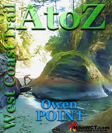
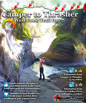
![]() Owen Point, at about the 67km mark on the West Coast Trail is home to a stunningly colourful and well hidden area of sandstone caves carved out by the ocean. Centuries of crashing waves have gouged out huge, circular openings in the cliffs jutting out into the ocean. If the tide is low enough you can walk through a gap in the rock face and walk in behind one of the huge openings, like a giant window to the Pacific Ocean.
Owen Point, at about the 67km mark on the West Coast Trail is home to a stunningly colourful and well hidden area of sandstone caves carved out by the ocean. Centuries of crashing waves have gouged out huge, circular openings in the cliffs jutting out into the ocean. If the tide is low enough you can walk through a gap in the rock face and walk in behind one of the huge openings, like a giant window to the Pacific Ocean.
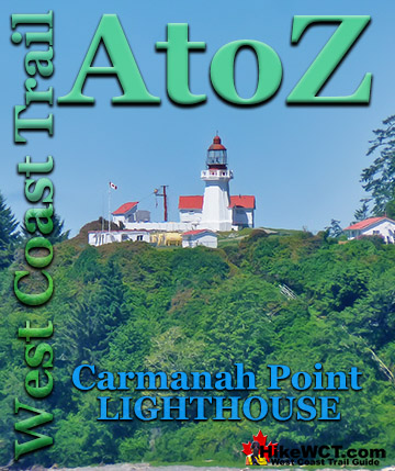
![]() Carmanah Point Lighthouse is located near the 44km mark of the West Coast Trail. It guards the entrance to Juan de Fuca Strait opposite the Cape Flattery Lighthouse 24.5km across the strait in the United States. Operational in 1891, the original structure was built out of wood. In 1920 the tower was rebuilt out of concrete and this is the one we see today.
Carmanah Point Lighthouse is located near the 44km mark of the West Coast Trail. It guards the entrance to Juan de Fuca Strait opposite the Cape Flattery Lighthouse 24.5km across the strait in the United States. Operational in 1891, the original structure was built out of wood. In 1920 the tower was rebuilt out of concrete and this is the one we see today.
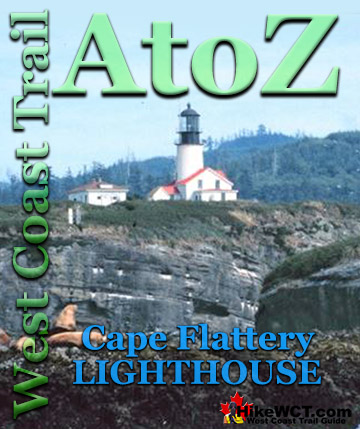
![]() Cape Flattery Lighthouse is located on the United States side of the entrance to Juan de Fuca Strait. Began operation in 1857, the lighthouse tower is 20 metres tall and standing on a cliff the tower’s light stands 50 metres above the water. Cape Flattery Lighthouse was decommissioned in 2008 when a modern, battery and solar powered tower light was installed.
Cape Flattery Lighthouse is located on the United States side of the entrance to Juan de Fuca Strait. Began operation in 1857, the lighthouse tower is 20 metres tall and standing on a cliff the tower’s light stands 50 metres above the water. Cape Flattery Lighthouse was decommissioned in 2008 when a modern, battery and solar powered tower light was installed.
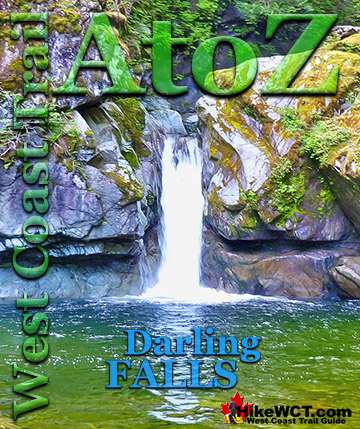
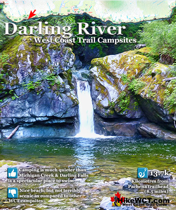
![]() Darling Falls has to be the most overlooked and underrated feature of the West Coast Trail. It never even appeared in West Coast Trail guidebooks until recently and hardly any websites or blogs give it a mention. There are some good reasons for this. First, the falls are located just 14km from the start, or finish of the West Coast Trail.
Darling Falls has to be the most overlooked and underrated feature of the West Coast Trail. It never even appeared in West Coast Trail guidebooks until recently and hardly any websites or blogs give it a mention. There are some good reasons for this. First, the falls are located just 14km from the start, or finish of the West Coast Trail.
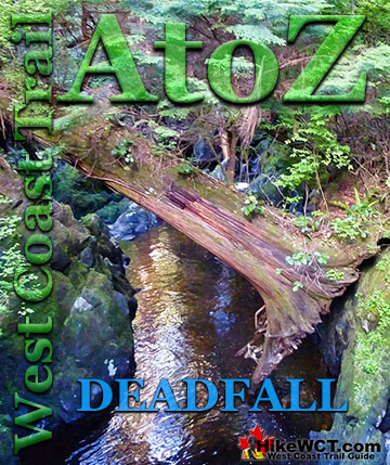
![]() Along the West Coast Trail you encounter countless deadfall around, over and along the trail. Deadfall is the name for dead and fallen trees and in a West Coast rainforest you see some magnificent examples. The West Coast Trail runs down the stormy West Coast of Vancouver Island which topples giant trees for six months of the year.
Along the West Coast Trail you encounter countless deadfall around, over and along the trail. Deadfall is the name for dead and fallen trees and in a West Coast rainforest you see some magnificent examples. The West Coast Trail runs down the stormy West Coast of Vancouver Island which topples giant trees for six months of the year.
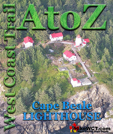
![]() The Cape Beale Lighthouse was built in 1873 and lit up the southern tip of the entrance to Barkley Sound. Barkley Sound is the huge gap in Vancouver Island filled with islands, with Ucluelet at the north end of the gap and Bamfield and Cape Beale at the south end. The West Coast Trail's Pachena Bay trailhead begins just south of Bamfield and 6 kilometres east of Cape Beale.
The Cape Beale Lighthouse was built in 1873 and lit up the southern tip of the entrance to Barkley Sound. Barkley Sound is the huge gap in Vancouver Island filled with islands, with Ucluelet at the north end of the gap and Bamfield and Cape Beale at the south end. The West Coast Trail's Pachena Bay trailhead begins just south of Bamfield and 6 kilometres east of Cape Beale.
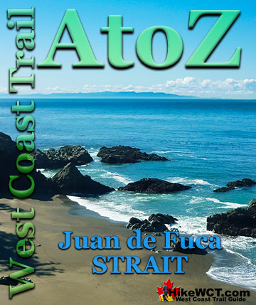
![]() Juan de Fuca Strait is the 154km long and 16km to 32km wide stretch of ocean that separates Vancouver Island from the northwest corner of Washington State. The international boundary between Canada and the United State runs down the centre of the strait. It was named in 1787 by the English explorer Charles Barkley for Greek navigator Juan de Fuca, who sailed in a Spanish expedition in 1592 and was possibly the first western explorer to encounter the strait.
Juan de Fuca Strait is the 154km long and 16km to 32km wide stretch of ocean that separates Vancouver Island from the northwest corner of Washington State. The international boundary between Canada and the United State runs down the centre of the strait. It was named in 1787 by the English explorer Charles Barkley for Greek navigator Juan de Fuca, who sailed in a Spanish expedition in 1592 and was possibly the first western explorer to encounter the strait.
West Coast Trail Guide
West Coast Trail Shipwrecks
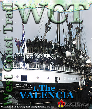
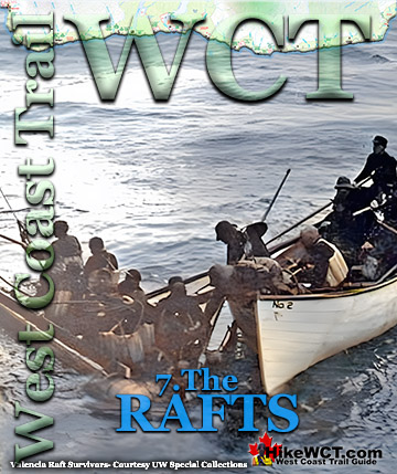
The Valencia Disaster

West Coast Trail Campsites
Explore BC Hiking Destinations!
The West Coast Trail

Victoria Hiking Trails

Clayoquot Hiking Trails
Whistler Hiking Trails
Squamish Hiking Trails


