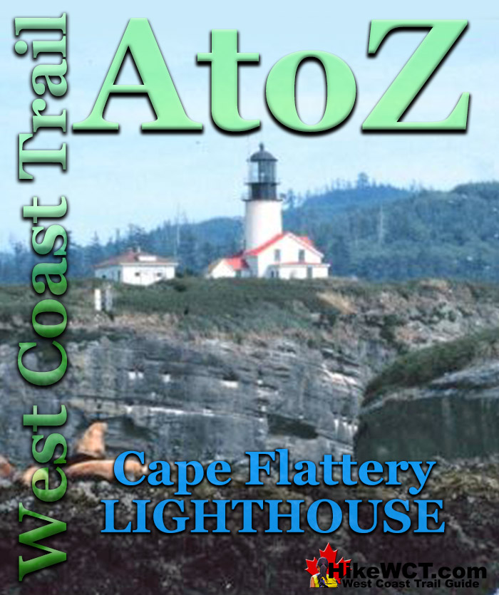
![]() Cape Flattery Lighthouse is located on the United States side of the entrance to Juan de Fuca Strait. Began operation in 1857, the lighthouse tower is 20 metres tall and standing on a cliff the tower’s light stands 50 metres above the water. Cape Flattery Lighthouse was decommissioned in 2008 when a modern, battery and solar powered tower light was installed.
Cape Flattery Lighthouse is located on the United States side of the entrance to Juan de Fuca Strait. Began operation in 1857, the lighthouse tower is 20 metres tall and standing on a cliff the tower’s light stands 50 metres above the water. Cape Flattery Lighthouse was decommissioned in 2008 when a modern, battery and solar powered tower light was installed.
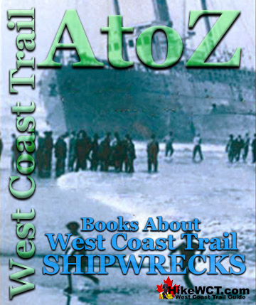
West Coast Trail Shipwrecks
![]() Alaskan at 4k
Alaskan at 4k ![]() Soquel at 5k
Soquel at 5k ![]() Sarah at 7k
Sarah at 7k ![]() Becherdass-Ambiadass at 8k
Becherdass-Ambiadass at 8k ![]() Michigan at 12k
Michigan at 12k ![]() Uzbekistan at 13.8k
Uzbekistan at 13.8k ![]() Varsity at 17.6k
Varsity at 17.6k ![]() Valencia at 18.3k
Valencia at 18.3k ![]() Janet Cowan at 19k
Janet Cowan at 19k ![]() Robert Lewers at 20k
Robert Lewers at 20k ![]() Woodside at 20.2k
Woodside at 20.2k ![]() Uncle John at 26.2k
Uncle John at 26.2k ![]() Vesta at 29k
Vesta at 29k ![]() Raita at 33k
Raita at 33k ![]() Skagit at 34.2k
Skagit at 34.2k ![]() Santa Rita at 37k
Santa Rita at 37k ![]() Dare at 39k
Dare at 39k ![]() Lizzie Marshall at 47k
Lizzie Marshall at 47k ![]() Puritan at 48.5k
Puritan at 48.5k ![]() Wempe Brothers at 49.4k
Wempe Brothers at 49.4k ![]() Duchess of Argyle at 58k
Duchess of Argyle at 58k ![]() John Marshall at 62.3k
John Marshall at 62.3k ![]() William Tell at 64.2
William Tell at 64.2 ![]() Revere at 69k
Revere at 69k ![]() Cyrus at 75k
Cyrus at 75k
West Coast Trail Campsites
![]() Pachena Bay Campground
Pachena Bay Campground ![]() Michigan Creek at 12k
Michigan Creek at 12k ![]() Darling River at 14k
Darling River at 14k ![]() Orange Juice Creek at 15k
Orange Juice Creek at 15k ![]() Tsocowis Creek at 16.5k
Tsocowis Creek at 16.5k ![]() Klanawa River at 23k
Klanawa River at 23k ![]() Tsusiat Falls at 25k
Tsusiat Falls at 25k ![]() Cribs Creek at 42k
Cribs Creek at 42k ![]() Carmanah Creek at 46k
Carmanah Creek at 46k ![]() Bonilla Creek at 48k
Bonilla Creek at 48k ![]() Walbran Creek at 53k
Walbran Creek at 53k ![]() Cullite Cove at 58k
Cullite Cove at 58k ![]() Camper Bay at 62k
Camper Bay at 62k ![]() Thrasher Cove at 70k
Thrasher Cove at 70k ![]() Pacheedaht Campground
Pacheedaht Campground
In 2017 the Cape Flattery Lighthouse was declared a national treasure and will be preserved. Located on Tatoosh Island, about 1.5km off the top corner of Washington State, it is perfectly located to guide ships into the bustling ports in Puget Sound, Vancouver and Victoria. These ports and San Francisco were connected by an almost continuous line of ships coming and going and spotting the Cape Flattery Lighthouse was a tremendous relief after days of blindly sailing up the coast. In George Nicholson’s amazing book, Vancouver Island’s West Coast 1762-1962, he sums up the tremendous importance of Cape Flattery in an 1859 quote by James Swan, author, lawyer and pioneer. “The wind continuing adverse, we were obliged to beat across the entrance of the strait (Juan de Fuca) for five days without gaining anything. But every night we were cheered by the light of Tatoosh Island, which shining like a bright star amid the primeval gloom, civilization and a proof that the “star of empire” had made its way westward till the waters of the Pacific had opposed a barrier to the tide of emigration. On the evening of the fifth day the wind changed and a light breeze springing up from the west we ran past the light and found ourselves in the strait.”
Construction of the Cape Flattery Lighthouse
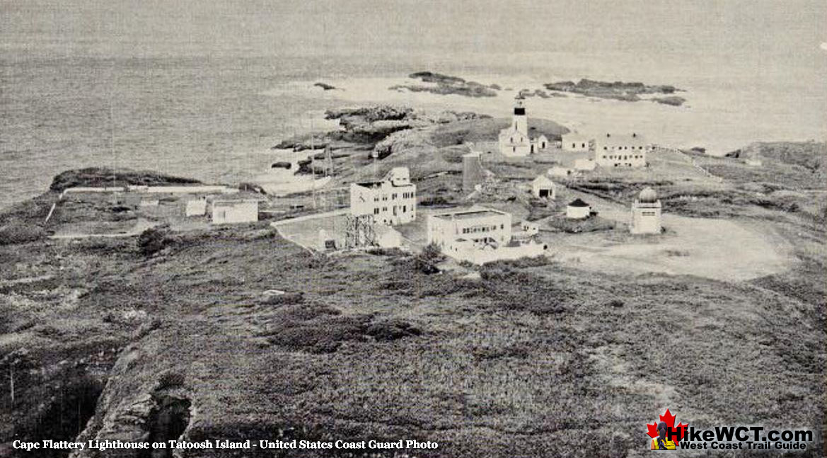
The Unites States government decided to build the lighthouse at Cape Flattery in 1853 and construction began the following year. Shortly after construction began, it was repeatedly abandoned due to constant attacks by various First Nations tribes. The survey work conducted in the years prior to construction warned that the island was unsafe for white men. Attacks on the construction site usually came from northern tribes, Haidas and Nootkas, who arrived in huge war canoes to raid the Makahs, whose main village was near Cape Flattery. It took the construction of defensive fortifications and constant guards for the lighthouse to be completed and it wasn’t fully operational until December 1857. For much of 1858 the light was not operational due to lighthouse keepers quitting due frequent First Nations attacks. This photo of Cape Flattery Lighthouse was probably taken in the 1950's.
The Original Cape Flattery Light
The original Cape Flattery light, positioned 165 feet above the ocean was visible for 30 kilometres on a clear day. Lard oil was the original fuel for the light and occasionally whale oil was used. In 1896 a kerosene fueled incandescent oil lamp was installed. Large boilers provided power for the lighthouse and they were fueled by burning wood. This was a constant challenge on the barren island and had to be constantly hauled in by boat and up a steep trail. Despite having no natural source of water on the island, the lighthouse was built with huge water tanks that were kept filled by the almost constant rainfall.
The Lighthouses Guarding Juan de Fuca Strait
Cape Flattery and the West Coast Trail
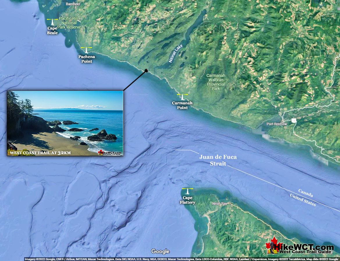
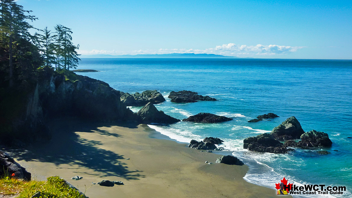
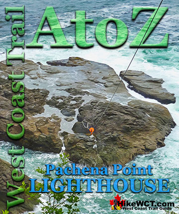
Though the Cape Flattery Lighthouse lays across the strait from the West Coast Trail it is almost always mentioned in shipwreck accounts that happened along Vancouver Island. The Cape Flattery Lighthouse built in 1857 and the Carmanah Point Lighthouse built in 1891 on Vancouver Island mark the entrance to Juan de Fuca Strait. It is a testament to how treacherous Juan de Fuca Strait is by the fact that these two lighthouses proved insufficient to guide ships in safely. The Umatilla Lightship was added south of Cape Flattery in 1897 and the Swiftsure Lightship northwest of Cape Flattery in 1909. The Pachena Point Lighthouse was constructed in 1908 just 24 kilometers up the coast from Carmanah Point Lighthouse. Even with this concentration of lighthouses and lightships the brutal weather, changing currents and fog were still too overpowering to many ships and shipwrecks along the Graveyard of the Pacific continued for decades. The picture below is near the 32km marker of the West Coast Trail, just 12 kilometres west of the Carmanah Point Lighthouse which is at 44km. The view is looking across the mouth of Juan de Fuca Strait and the point of land in the distance is the United States and Cape Flattery is just beyond the tip.
Vancouver Island’s West Coast 1762-1962
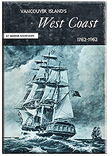 Vancouver Island’s West Coast 1762-1962 by George Nicholson is a fantastic history that gives you a window to a staggering array of events that occurred during those two eventful centuries. The amount of research that went into this book must have been colossal. Dozens and dozens of beautiful illustrations bring the people and places to life. Published in 1965 after decades of living in the area, Nicholson is able to write about events he was part of. Other events that happened before his time, he is able to describe in detail only possible by living in the area and knowing every feature of the land. His sources are from the written journals of the many explorers in the area. You know you are in for a wild ride from the first sentence of the book. “The history of British Columbia begins at Nootka”. Along with the wonderful history of the west coast along and beyond the West Coast Trail, two of the West Coast Trail shipwrecks are written in vivid detail about. The tragic story of the Valencia disaster and the Janet Cowan shipwreck are told in two separate chapters. Also, the Uzbekistan shipwreck that occurred at the outflow of Darling River is briefly mentioned. One of the photos in the book is of the Uzbekistan shortly after breaking up on the reef and is an amazing view of the wreck you tend to never see. All the other well-known West Coast Trail shipwrecks are mentioned in one chapter titled, “Forty Wrecks, One for Every Mile”. Tsusiat Falls has a chapter devoted to it as well as the Carmanah Lighthouse and the Cape Flattery Lighthouse. Vancouver Island’s West Coast 1762-1962 can be found online on Amazon and many other online book stores. Vancouver Island’s West Coast 1762-1962 continued here...
More West Coast Trail Glossary A to Z
West Coast Trail A to Z
The West Coast Trail by Day
Explore BC Hiking Destinations!
The West Coast Trail
Victoria Hiking Trails

Clayoquot Hiking Trails
Whistler Hiking Trails
Squamish Hiking Trails

Vancouver Hiking Trails

