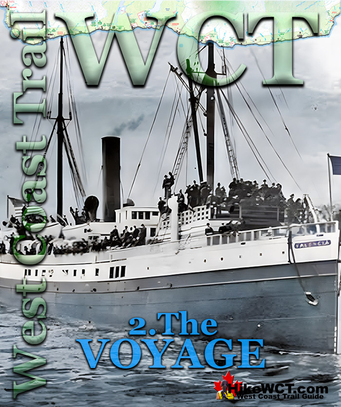
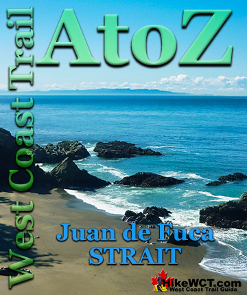
![]() The Valencia departed from San Francisco at 11:20am on Saturday, January 20th 1906, bound for Victoria and Seattle. She cruised roughly parallel to the coast at a variable distance that ranged from about 8 to 32 kilometres until she sighted Cape Flattery. The Cape Flattery Lighthouse marks the south end of Juan de Fuca Strait and is 1073 kilometres or 667 miles from the Golden Gate Bridge at the entrance to San Francisco Harbor.
The Valencia departed from San Francisco at 11:20am on Saturday, January 20th 1906, bound for Victoria and Seattle. She cruised roughly parallel to the coast at a variable distance that ranged from about 8 to 32 kilometres until she sighted Cape Flattery. The Cape Flattery Lighthouse marks the south end of Juan de Fuca Strait and is 1073 kilometres or 667 miles from the Golden Gate Bridge at the entrance to San Francisco Harbor.
The Valencia Disaster
![]() 1. The Valencia
1. The Valencia ![]() 2. The Voyage
2. The Voyage ![]() 3. The Boats
3. The Boats ![]() 4. The McCarthy Boat
4. The McCarthy Boat ![]() 5. The Bunker Party
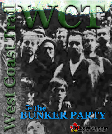
5. The Bunker Party ![]() 6. On the Valencia
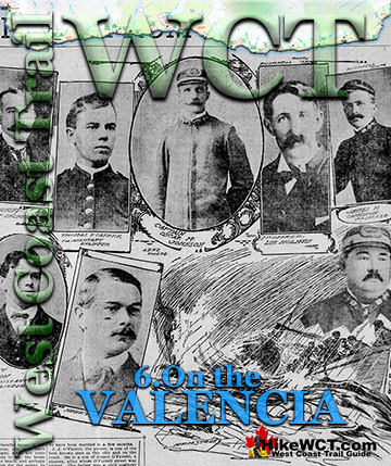
6. On the Valencia ![]() 7. The Rafts
7. The Rafts ![]() 8. The Turret Raft
8. The Turret Raft ![]() 9. The Rescue Ships
9. The Rescue Ships ![]() 10. The Aftermath
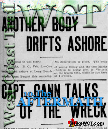
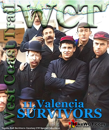
10. The Aftermath ![]() 11. The Survivors
11. The Survivors ![]() 12. The Lost
12. The Lost
The West Coast Trail
![]() Prologue
Prologue ![]() 1: The West Coast Trail
1: The West Coast Trail ![]() 2: When to Hike & Fees
2: When to Hike & Fees ![]() 3: Trailheads
3: Trailheads ![]() 4: Getting There
4: Getting There ![]() 5: Considerations
5: Considerations ![]() 6: Campsites
6: Campsites ![]() 7: Shipwrecks
7: Shipwrecks ![]() 8: Routes
8: Routes ![]() 9: Sights & Highlights
9: Sights & Highlights
Captain Johnson of the Valencia expected to be within sight of the Umatilla Lightship or the Cape Flattery Lighthouse three days into the voyage, the night of Monday, the 22nd. He had to estimate distance travelled by compass and dead reckoning because the last clear sighting of land was when they passed Cape Mendocino on Sunday morning. They had since gone about 800 kilometres without being able to confirm their position. Cruising through a hazy fog they looked for the Umatilla Lightship, located offshore, 22 kilometres south of Cape Flattery. Once they spot the Umatilla Lightship, they would know their exact location and easily locate the Cape Flattery Lighthouse and safely enter Juan de Fuca Strait. At 9pm on Monday, the 22nd, Captain Johnson changed course toward what he expected to soon see, the Umatilla Lightship. To aid in navigation in the dark, ships also take soundings to determine their depth, which they can compare to charts. Unable to find their position by sighting land or lights, a ship's position is determined by soundings. Along this stretch of coast there is a peculiar line of soundings that extend 40 miles south of the Umatilla Lightship. At 9pm Captain Johnson was expecting to find their location using this method. The soundings showed depths that made no sense and did not indicate any similarity to what was expected by Captain Johnson. He apparently believed, that the Valencia was opposite or slightly north of Umatilla, and at 9pm he changed course eastward in the standard route from Umatilla to Cape Flattery. At 9:30pm soundings indicated 80 fathoms. At 10pm 60 fathoms. Once again, their position made no sense and the Valencia was blindly steaming in the dark with no idea where they were. At 10pm they changed course again slightly westward and Captain Johnson reportedly believed the ship was close to the Umatilla Lightship. Further soundings were alarmingly differently than expected in the vicinity of Umatilla. At 10:30pm soundings read 56 to 60 fathoms, at 10:45pm 80 fathoms, at 11pm 60 fathoms, at 11:15pm 40 fathoms, and at 11:35pm 30 fathoms. With soundings indicating dangerously shallow depths, Captain Johnson veered sharply west, away from what he now believed was the mainland coast of Washington State, south of Cape Flattery. Now the Valencia was heading north, 35 degrees west, a course that would keep them safely away from the coast. At 11:45pm a sounding gave their depth at just 24 fathoms.
Moments later a dark silhouette of coastline appeared ahead of the ship. They steered hard to starboard and the Valencia turned sharply west toward what was hoped to be deeper water. For a minute or two the Valencia steamed into the darkness having narrowly escaped colliding with the coast. The Valencia was heading for deeper water, but directly ahead of her was a rock or ledge just under the surface of the rolling sea.
Approximate Final Route of the Valencia

22 January, 11:50pm: Valencia Strikes a Rock or Ledge
Just before midnight, at 11:50pm on Monday, January 22nd the Valencia struck this rock or ledge a few hundred metres from the shore of Vancouver Island. With her bow lodged on the underwater obstruction, the Valencia’s stern drifted to point toward the shore. It was estimated that in the first 5 or 6 minutes that 6 feet of water had already poured into the ship and she was sinking fast. Captain Johnson ordered the ship’s engines full astern into the darkness to beach her before sinking. Moments later she backed onto a reef just 18 metres from the shore and surrounded by crashing water. In relation to the West Coast Trail today, the location is just past KM18 and in the middle of a 4 kilometre stretch of coastline with steep cliffs and enormous rock outcrops extending out for hundreds of metres. The Valencia was surrounded by huge waves breaking over and churning around huge, flat, rock shelves. Every few seconds another huge swell would slam into the Valencia with its stern grounded and its bow slanting down into the ocean.
Valencia Bluffs Close to the Valencia Wreck on the West Coast Trail

Valencia Wrecked Along Vancouver Island's Brutal West Coast
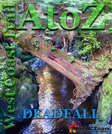
The people aboard the Valencia could barely make out the shore in the darkness and wouldn’t find out until morning that the cliffs along the shore were vertical and about 100 feet tall. To add to the confusion, all on board assumed that they were located along the coast of Washington State, south of Cape Flattery. Their actual location was along the mostly uninhabited West Coast of Vancouver Island. The terrain along the coast is steep, crisscrossed with creeks and rivers, and covered in such dense vegetation as to often be characterized as impenetrable. The cold, rainy weather also added to their misery and the coast was blanketed with a few centimetres of snow. These pictures show the West Coast Trail as it looks today, when the Valencia wrecked in 1906, there were no bridges, ladders, signs, route markers, trail clearing, or even a trail to clear. Ravines had to be slid down and crawled up. Creeks and rivers had to be waded through or if you were lucky, crossed by a well placed deadfall tree sprawled across.

Near to Civilization, Yet Inaccessible and Isolated
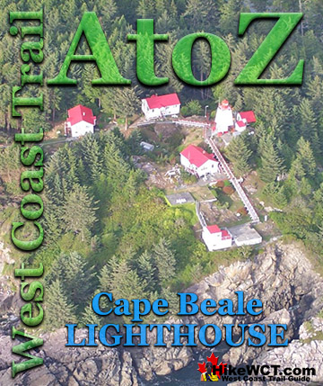
There was a telegraph wire along the coast that linked the lighthouses at Cape Beale and Carmanah. Due to the brutal forest terrain, the line mostly ran along the beach, dangling from tree to tree. Where the Valencia wrecked, the line was inland due to the inaccessible shoreline. Maintained by a lineman, there were a few lineman’s huts located along various beaches. These simple shelters were often made of beach wood and contained a small amount of food as well as the ability to tap into the telegraph line to contact the lighthouses. The United States government report that investigated the Valencia disaster titled, The Wreck of the Steamer Valencia, describes the region as, “Taken as a whole, it would be hard to find a place so comparatively near to civilization and yet practically so inaccessible and isolated as the place where the Valencia went ashore."
Coastline Cliffs Near the Valencia Wreck

Extraordinary Challenges the Valencia Survivors Faced
Though the stern of the ship was estimated to be just 18 metres from the vertical cliffs along the shore, the crashing waves coming in made getting to the top of the cliffs nearly impossible. If they could reach the shore, climbing up the cliffs would be another terrifyingly brutal challenge. If they could reach the shore and climb to the top of cliffs, they would find the forest in either direction overgrown, unmarked, steep, and crossed by deep ravines. If they overcame all these obstacles, they would still have to contact the outside world along this coast where few people lived.
The Valencia Disaster Continued: 3. The Boats
Best West Coast Trail Sights & Highlights

The Valencia Disaster
West Coast Trail A to Z
The West Coast Trail by Day

Explore BC Hiking Destinations!
The West Coast Trail
Victoria Hiking Trails
Clayoquot Hiking Trails
Whistler Hiking Trails
Squamish Hiking Trails

Vancouver Hiking Trails